


Day 1 – Libby
On Monday 26th September, we spent our day investigating the River Dart at two different points along its upper course; measuring the width, depth, velocity, and bedload at each site. I really enjoyed measuring the velocity, because we were floating apples down the river which was a lot of fun. Using the data collected during the day, we analysed the patterns found and the difference between each site, to see how this river compared to the morphology of typical rivers. On our way to the first study site, we stopped at Haytor Rocks, Dartmoor and walked to the top where Mr Curran gave us a short geography lesson on how it formed. We were very lucky to have such great weather with barely any rain, apart from the occasional drizzle. On top of that, we went out to dinner at a local Inn where we ate outside in a marquee and had delicious food. Thank you to Mr Curran, Mrs Hornby and Ms Mathias-Williams for a great first day!
Day 2 – Arabella
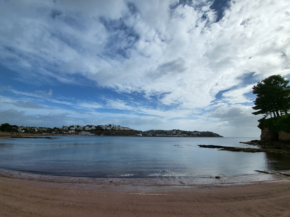
On the second day of our fieldwork trip, we started at Paignton, where we did an experiment to see how the size of sediment varies from the water's edge to the back of the beach. This was both tricky and fun, because in order to get the right angle from one pole to the other you had to be extremely accurate with how you used the gun clinometer. After this, our teachers treated us to a drink at Costa, which we all very much enjoyed and appreciated. When we had all finished and had our lunch, we went to Paignton Conservation Park and were treated to a tour with one of the head conservationists to learn about the role of the park in sustaining species numbers, as well as developing our understanding of current issues in sustainability and biodiversity. We were spoken to about why the animals have been brought into the park, and how they are cared for. We all found this to be very informative as well as having a great time wandering around looking at all the animals ourselves.
Day 3 – Lara
On Wednesday, UV were all incredibly excited to visit one of our favourite case study locations, Boscastle! We had learnt so much about the flash flood in 2004 and seen so many pictures we were thankful to be given the opportunity to visit and see it in person.
When we arrived Mr Curran recapped on all the causes of the flood whilst pointing them out. This was very helpful as seeing the steep sided v-shaped valley and the new raised car park (as well many other things) will definitely help us when it comes to our exams.
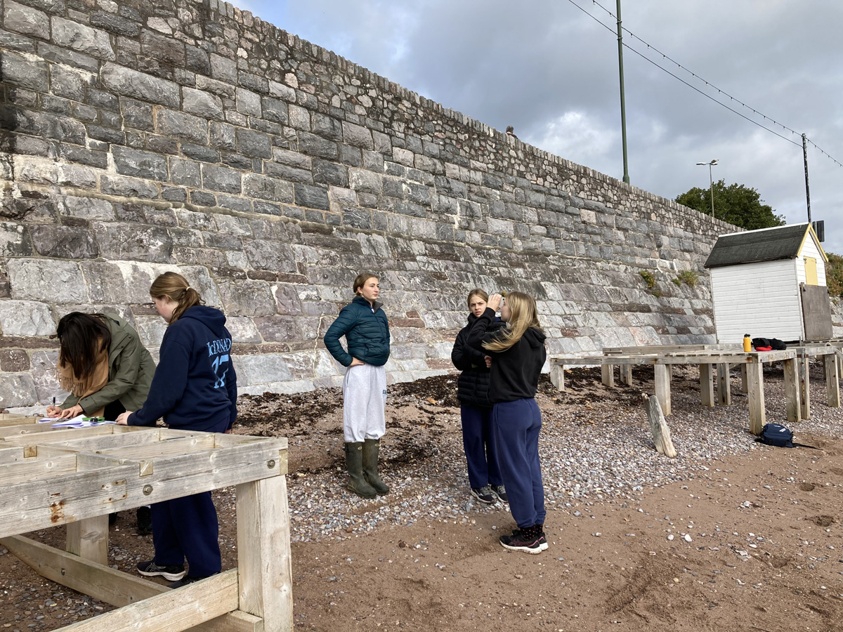
We then divided into our work groups and completed two surveys whilst walking through the village. One of the surveys was about the flood management so we had to identify some examples (eg sea walls and diversion channels) and take pictures of them. The other survey was to see if the tourism had recovered since the flood so we were allocated three small areas and had to take pictures of any evidence of tourism in that area (eg museum or shops).
When we had finished doing this, we were given time to eat our pack lunches and visit the local giftshops. Some of us got some gifts and postcards and most of us got delicious hot chocolates, ice creams, pasties and lots more whist sitting in some delightful cafes!
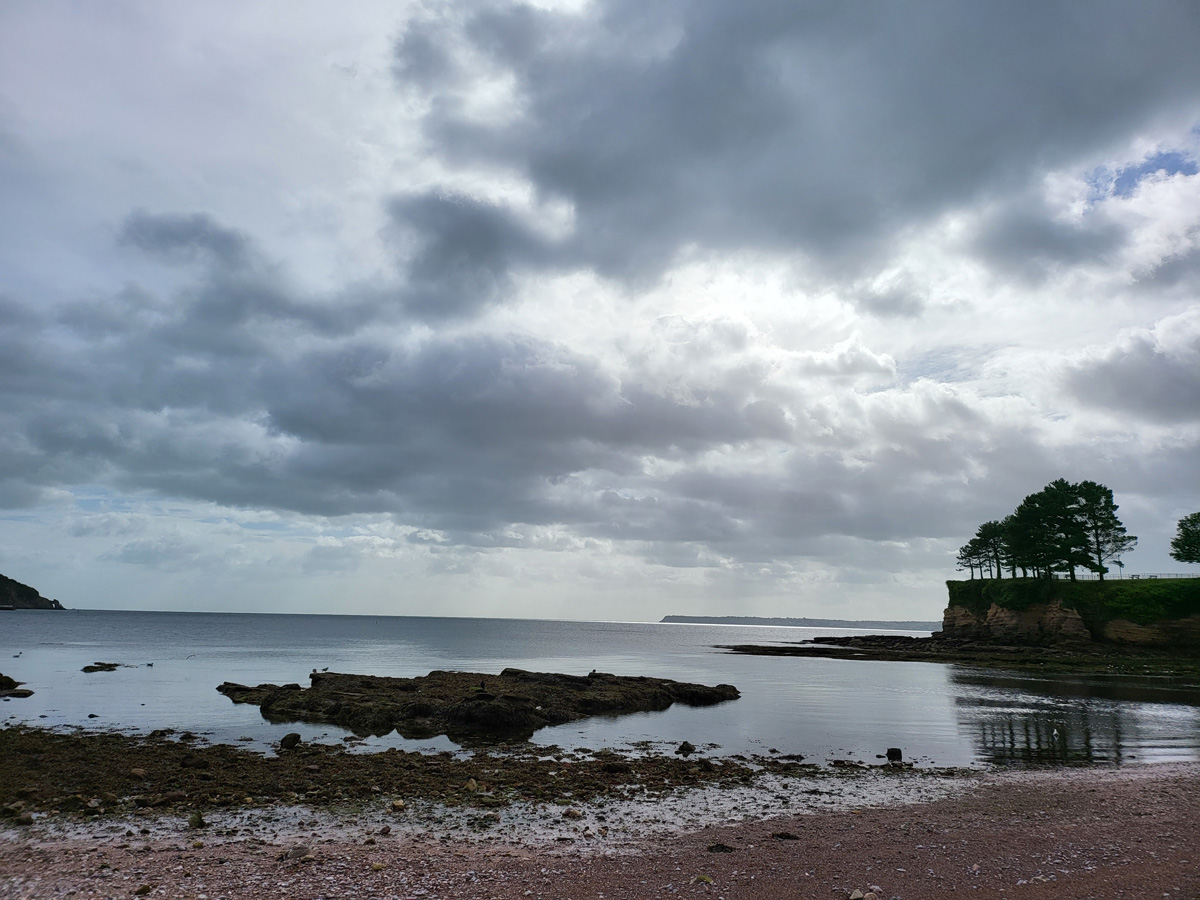
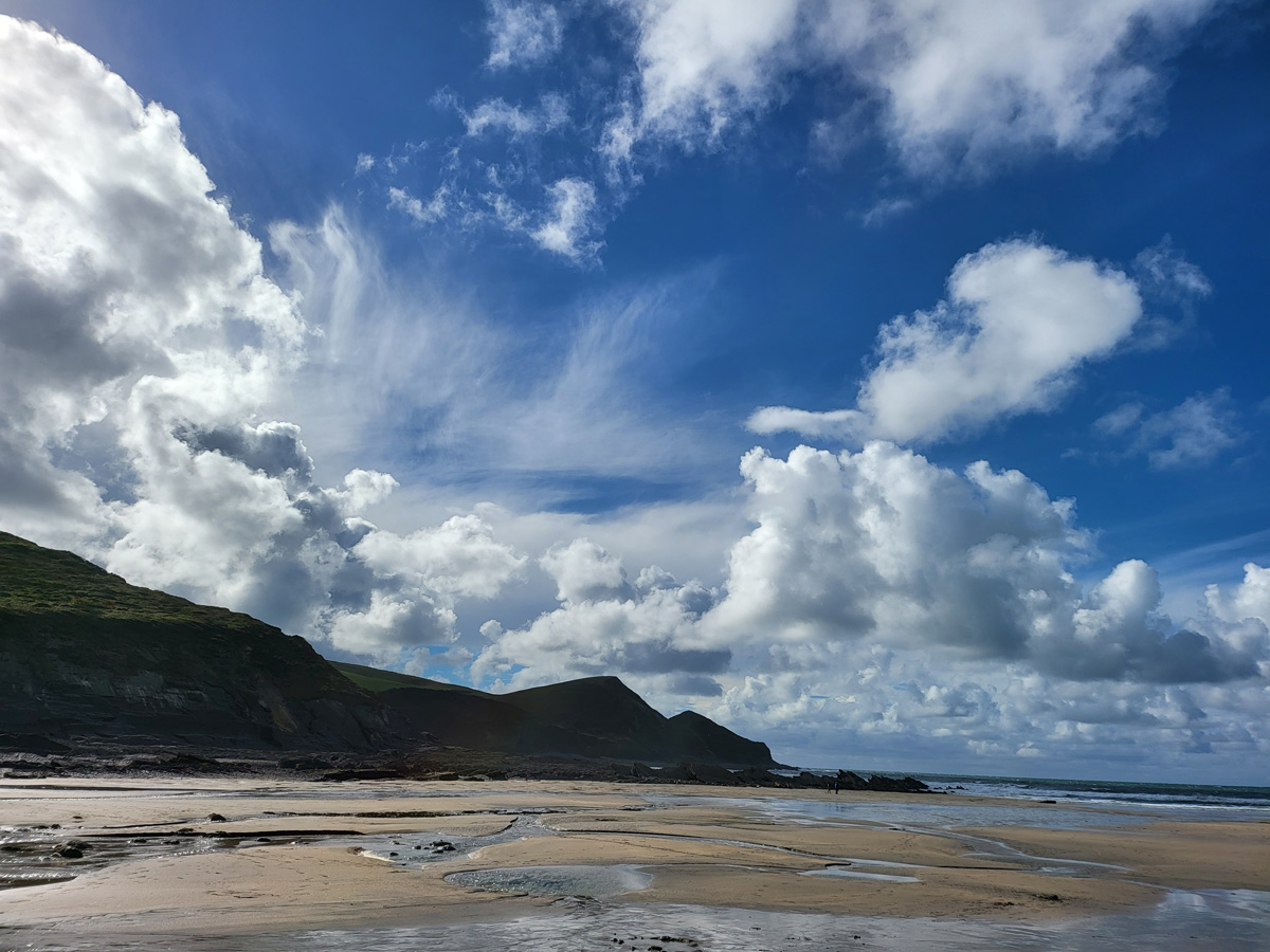
After lunch we drove to Crackington Haven to look at the beach profile of a northern coastline and destructive waves. There, we collected data of the beach gradient and sediment size, like we did with the beach in Torquay. Our aim was to see if this high energy coast led to a different beach profile to that of the calm South Coast.
For supper, we headed to the Sea Trout Inn which was delicious!
Day 4 – Claire
The final day of the trip consisted of investigations regarding the human geography of the city of Bristol. We learnt about the skills and steps required for a successful geographical enquiry such as: aims and hypothesis; data collection; analysis and presentation; and the importance of conclusion and evaluation. We investigated three sites across the day, each representing a different 'zone' of the city, referencing city models like the Burgess' Concentric Zone and the Hoyt Model, both of which we'd studied in class. It was great fun collecting data from each area, which included completing surveys, drawing field sketches and taking photographs in order to create a geographical profile of each location. This was all so we could answer the question; 'How does the quality of life change throughout different sections of a city?'
What was most exciting and challenging was the questionnaires we had to carry out, requiring us to approach members of the public and ask them a range of questions. We all ended up meeting some lovely locals, and visitors, who were extremely willing to help us out, and talked to a variety of age ranges from late teens to early seventies! After each site all the groups reconvened and, as a class, we discussed the advantages and disadvantages of each method of data collection, as well as sharing found information and comparing it to that of previous locations in Bristol. Overall, the day was highly successful on the geography front, and we enjoyed ourselves lots too!